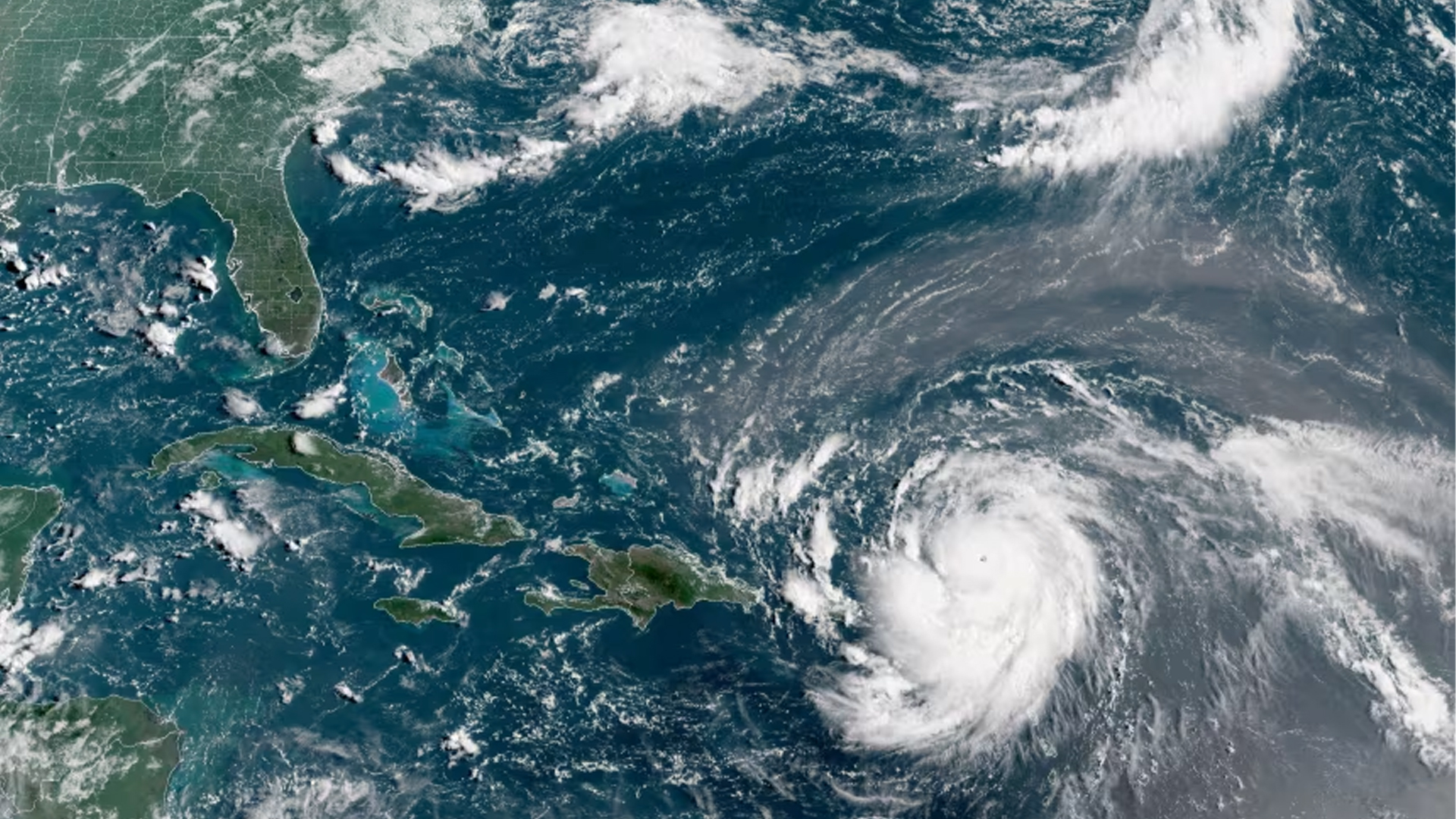
Hurricane Erin Intensifies to Category-5, Winds Reach 260 km/h
Hurricane Erin has rapidly intensified within just 24 hours, becoming a highly dangerous storm. According to the U.S. National Hurricane Center (NHC), Erin has now reached Category-5 status, with sustained wind speeds of up to 260 kilometers per hour (160 mph). Officials warn that the storm could strengthen even further.
Currently located in the Caribbean Sea, Hurricane Erin is projected to pass over the Leeward Islands, the Virgin Islands, and the northern parts of Puerto Rico in the coming days. These areas are expected to experience heavy rainfall—up to 6 inches (15 centimeters)—raising the risk of flash floods and landslides.
“This storm has explosively intensified overnight and is now considered life-threatening,” said Mike Brennan, Director of the National Hurricane Center.

The storm is also forecast to generate life-threatening waves and rip currents along much of the U.S. East Coast, particularly in coastal areas of Florida and the Mid-Atlantic. Bermuda is also at risk of dangerous swells and heavy rain.
In response, the U.S. Coast Guard has suspended vessel operations at several ports in Puerto Rico and the U.S. Virgin Islands, including San Juan, St. Thomas, and St. John.
The National Oceanic and Atmospheric Administration (NOAA) has noted an increase in the frequency of Category-4 and 5 hurricanes due to climate change. The agency has predicted that the 2025 Atlantic hurricane season will likely see above-average activity.
Erin is the first hurricane of this year’s Atlantic season. While it currently poses no direct threat to the U.S. mainland, it is expected to track northward along the eastern coast of the Bahamas and could approach North Carolina’s Outer Banks in the coming days, according to weather officials.
Experts urge residents in coastal areas to remain vigilant, stay prepared, and closely monitor weather updates.
